


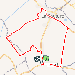

8,3 km | 9 km-effort


Gebruiker


Gratisgps-wandelapplicatie
 SityTrail
IGN / Geografische instituten
SityTrail World
De wereld gaat voor u open
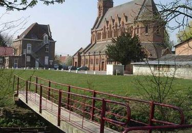
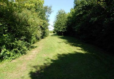
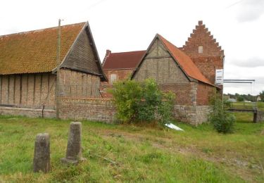
Tocht Stappen van 9,3 km beschikbaar op Hauts-de-France, Pas-de-Calais, De Kouter. Deze tocht wordt voorgesteld door Blourouce.
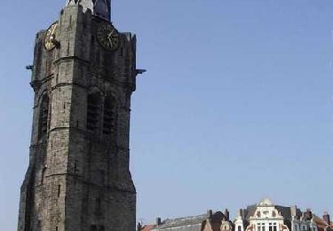
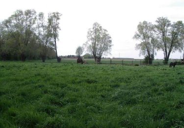
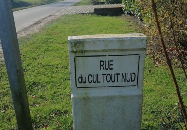
Balade sympa dans la Campagne de La Couture 62136
Stappen
Stappen
Stappen

Stappen

Stappen
Stappen

Stappen
Stappen
Fiets